SERVICES

What We Do

SPACEWHALE is a novel method for detecting whales in very high-resolution (VHR) satellite imagery which can monitor regions in the high seas where traditional boat or aerial-based surveys are difficult to execute. We merge the latest in space-based and Deep Learning assets with a team of expert biologists to offer clients a range of products including abundance and distribution estimates.

Abundance


We provide abundance estimates for large whales on a per-survey basis which can be used to generate population trends over time.

Distribution


Using advanced modelling techniques, we create distribution maps of target species in ESRI-compatible raster formats.

Bespoke analyses


Working with our clients we offer bespoke analyses to help guide conservation and advanced ecological studies.

Projects

Hawaii / Peninsula Valdes

Our pilot project, which was run in 2018 – 2019, tested the possibility of detecting whales from satellite imagery using a deep learning algorithm. Using a standard classification technique, we were able to identify 100% of the whales in the images.

Find more information at “Our Publications”

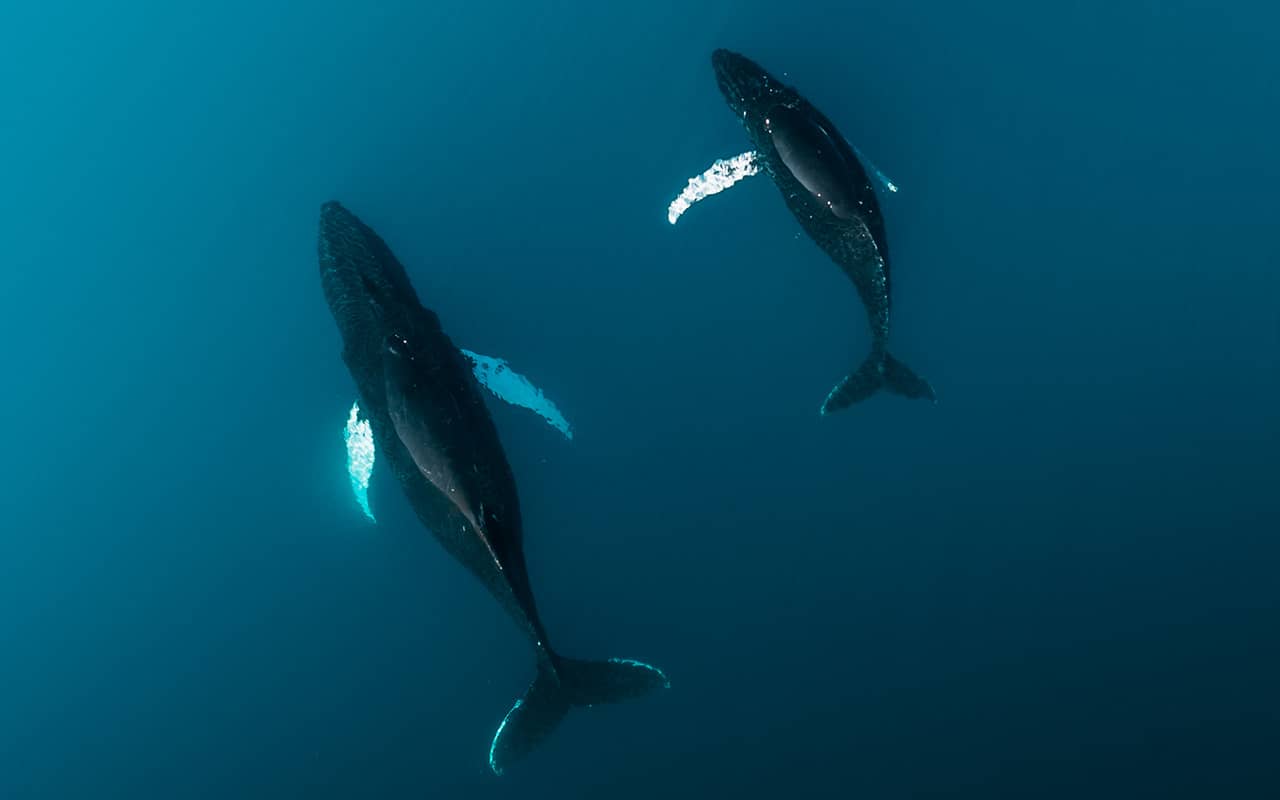
Humpback whales (<i>Megaptera novaeangliae</i>)<br />© Michael Schauer
Fin whale (<i>Balaenoptera physalus</i>) mother and calf <br />© Caroline Hoeschle
Projects

Pelagos Sanctuary

We applied the SPACEWHALE faster R-CNN object detection method to the Pelagos Sanctuary previously studied by the British Antarctic Survey. The SPACEWHALE algorithm succeeded in detecting an additional 13 whales in satellite imagery that were overlooked by a manual review process.
Projects

Bay of Biscay

During September 2020, we flew digital aerial surveys in the Bay of Biscay and captured satellite imagery simultaneously. We are investigating the overlap between traditional aerial surveys and cutting-edge semi-automated techniques using satellite images.
Humpback whale (<i>Megaptera novaeangliae</i>)<br />© Caroline Hoeschle
Southern Right Whale (<i>Eubalaena australis</i>) in HR Satellite imagery<br />© 2021 Maxar Technologies

Projects

Auckland Islands

Using archival satellite imagery near to 0.46 m GSD, we are able to expand our ability to quantify populations when higher resolution imagery is unable to be tasked. In Port Ross on the Auckland islands, we were able to distinguish between adult and juvenile Southern right whales.

Find more information at “Our Publications”

Projects

Loreto National Park

We used SPACEWHALE to survey an area within the Gulf of California to assess the distribution and abundance of blue whales and other wildlife species to support applied conservation efforts. Information from satellite surveys can make an invaluable contribution to conservation and management.
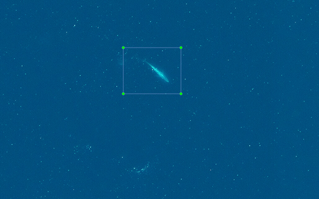
Blue Whale (<i>Balaenoptera musculus</i>) in VHR Satellite imagery</br>© 2022 Maxar Technologies

Mapping Whales From Space - Our Publications

We are actively publishing the results from our work in peer-reviewed journals. These manuscripts remain some of the first publications that demonstrate deep-learning for detecting whales from satellite imagery.

Open our publications as PDF by clicking on the buttons below or find more information for Borowicz et al., 2019 (https://doi.org/10.1371/journal.pone.0212532), for Höschle et al., 2021 (https://doi.org/10.3390/s21030963), and for Höschle et al., 2022 (International whaling commision, https://iwc.int/en/).

Aerial Trained AI

Potential of Satellite ImagerySatellite surveys in remote high latitudes

In June 2022, the SPACEWHALE team was named the champions of the 2022 Deloitte Gravity challenge with Whale and Dolphin Conservation.
https://gravitychallenge.space/gravity-04-challenge-solutions-awards

This prize will give SPACEWHALE the opportunity to further advance our ethical AI solution that we use for detecting whales from high resolution satellite imagery by helping to create a baseline for marine protected areas. Working with WDC will give us the chance to improve protections for charismatic and important marine mammals.
https://www2.deloitte.com/uk/en/pages/innovation/solutions/wdc.html

Their [SPACEWHALE team at BioConsult SH]  work to date is inspiring and we believe that by working together we have a real chance to make the world a better and safer place for whales and dolphins.

Chris Butler-Stroud

International and UK CEO, Whale and Dolphin Conservation

DB+
Our Team

Research Team

Caroline Höschle

Caroline Höschle

Project lead | Marine mammal scientist
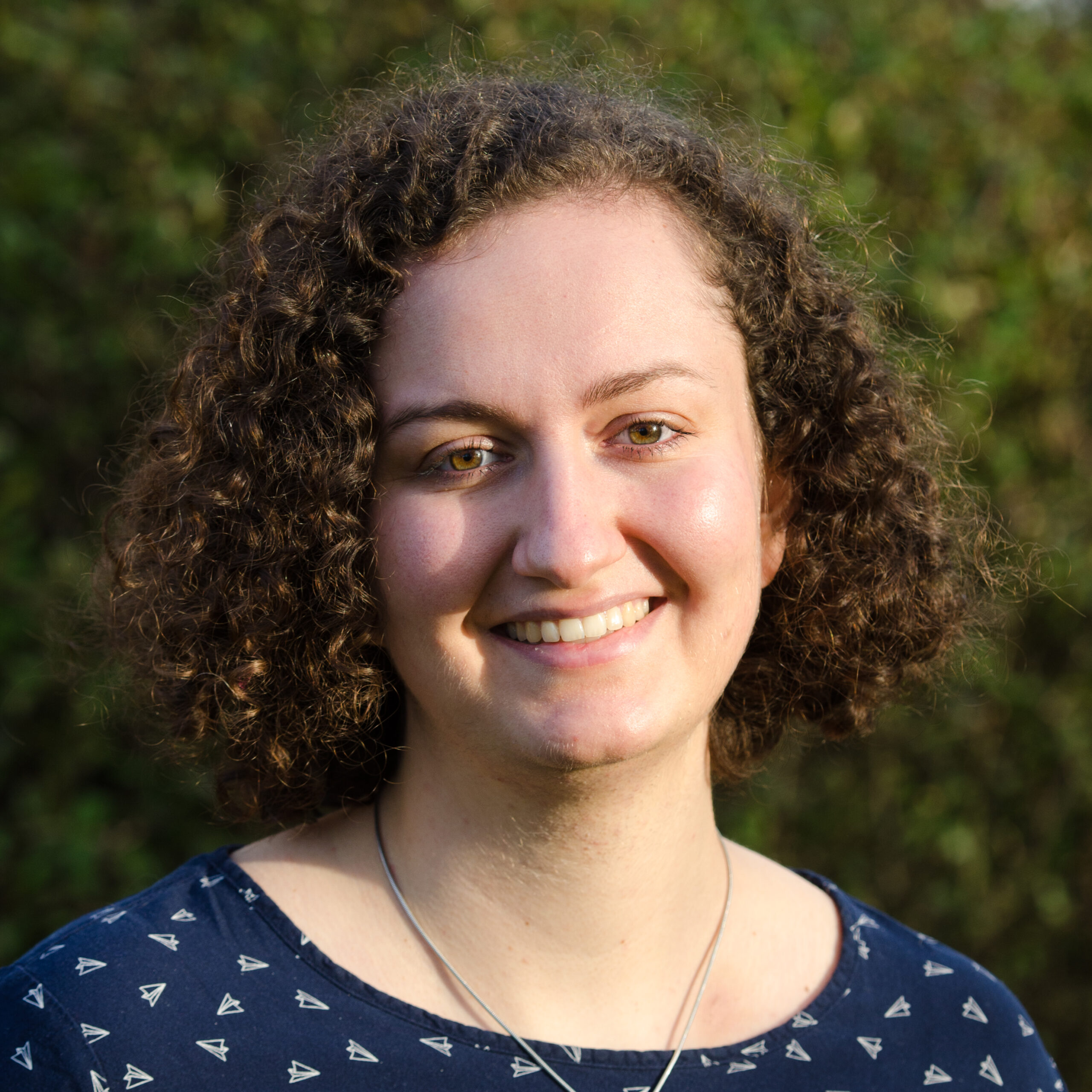
Julika Voss

Julika Voss

Project lead | Marine mammal scientist
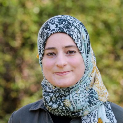
Dr. Amel Ben Mahjoub

Dr. Amel Ben Mahjoub

Image recognition specialist
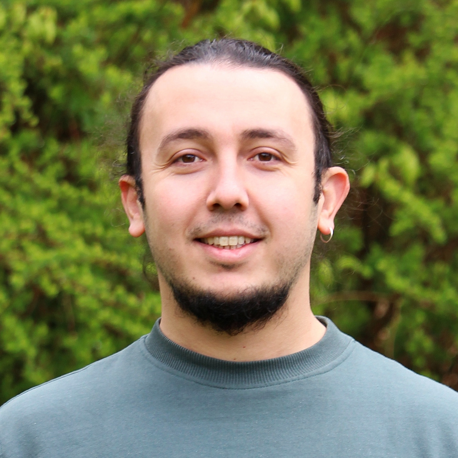
Vladislav Kosarev

Vladislav Kosarev

Programmer

Dr. Kelly Macleod

Dr. Kelly Macleod

Associate director HiDef | Marine mammal scientist

Marc Schnurawa

Marc Schnurawa

Spatial data analytics

Dirk Renner

Dirk Renner

Flight organisation and Data management

Kai Christensen

Kai Christensen

Review / ID Team coordinator
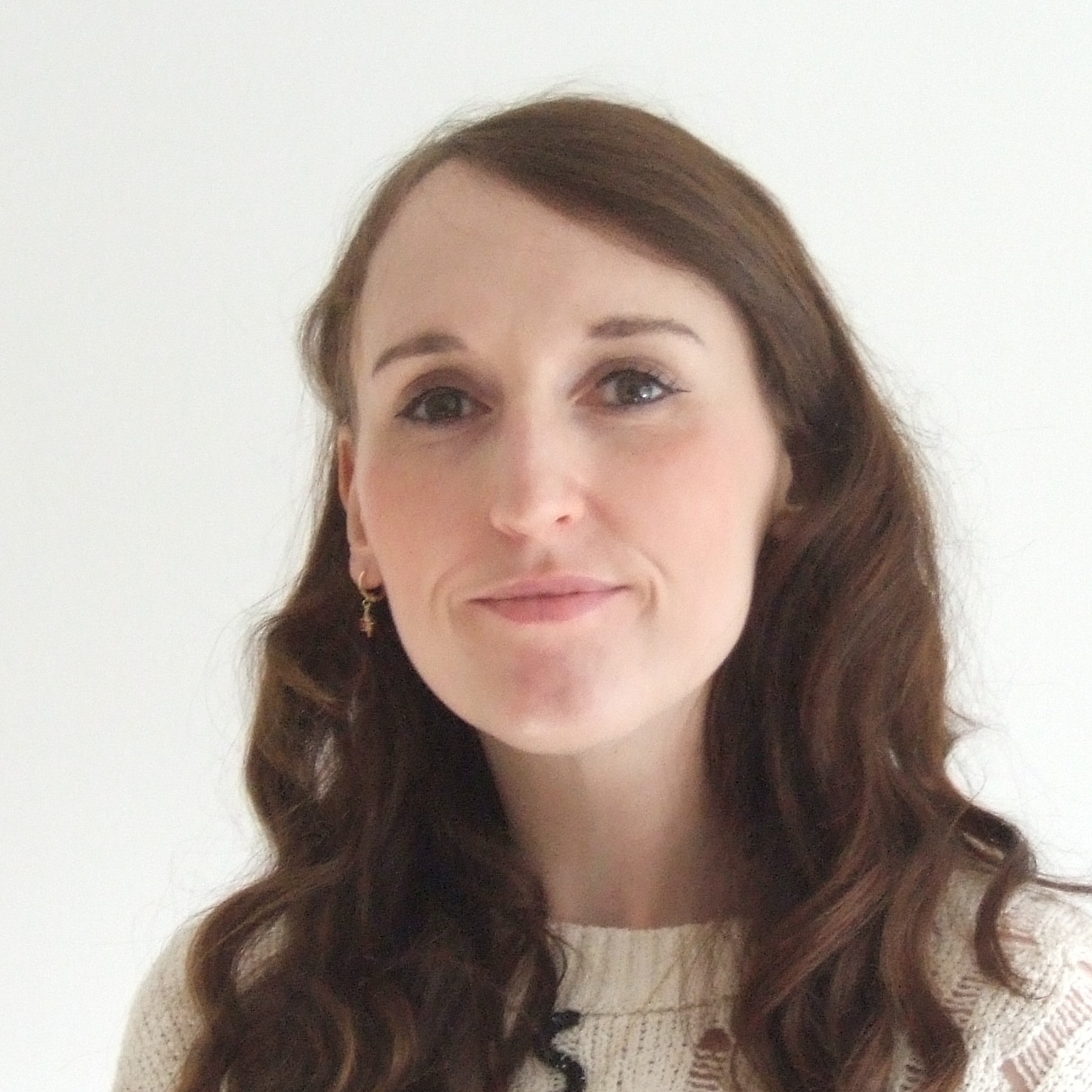
Dilwyn Jones

Dilwyn Jones

Business Development Manager

Natalie Murray

Natalie Murray

Marketing and Media Officer

Martin Scott

Martin Scott

Managing director HiDef

Dr. Georg Nehls

Dr. Georg Nehls

Managing director BioConsult SH

Our Team

Review Team

Theo Jensen

Theo Jensen

Review

Volker Schlemm

Volker Schlemm

Review

Evlin Mirza

Evlin Mirza

Review

Karo Galoyan

Karo Galoyan

Review

Morsal Aslami

Morsal Aslami

Review

Lennart Rienitz

Lennart Rienitz

Review

Farhad Ataee

Farhad Ataee

Review

Gunnar Wolff

Gunnar Wolff

Review

Carsten Klein

Carsten Klein

Review

Sardar Mirza

Sardar Mirza

Review

Nevard Saroyan

Nevard Saroyan

Review

Contact us for a quote

By submitting your request, you consent to the processing of your data for the purpose of processing your request (data protection declaration and revocation instructions).

Office

Schobueller Str. 36,
25813 Husum, Germany